




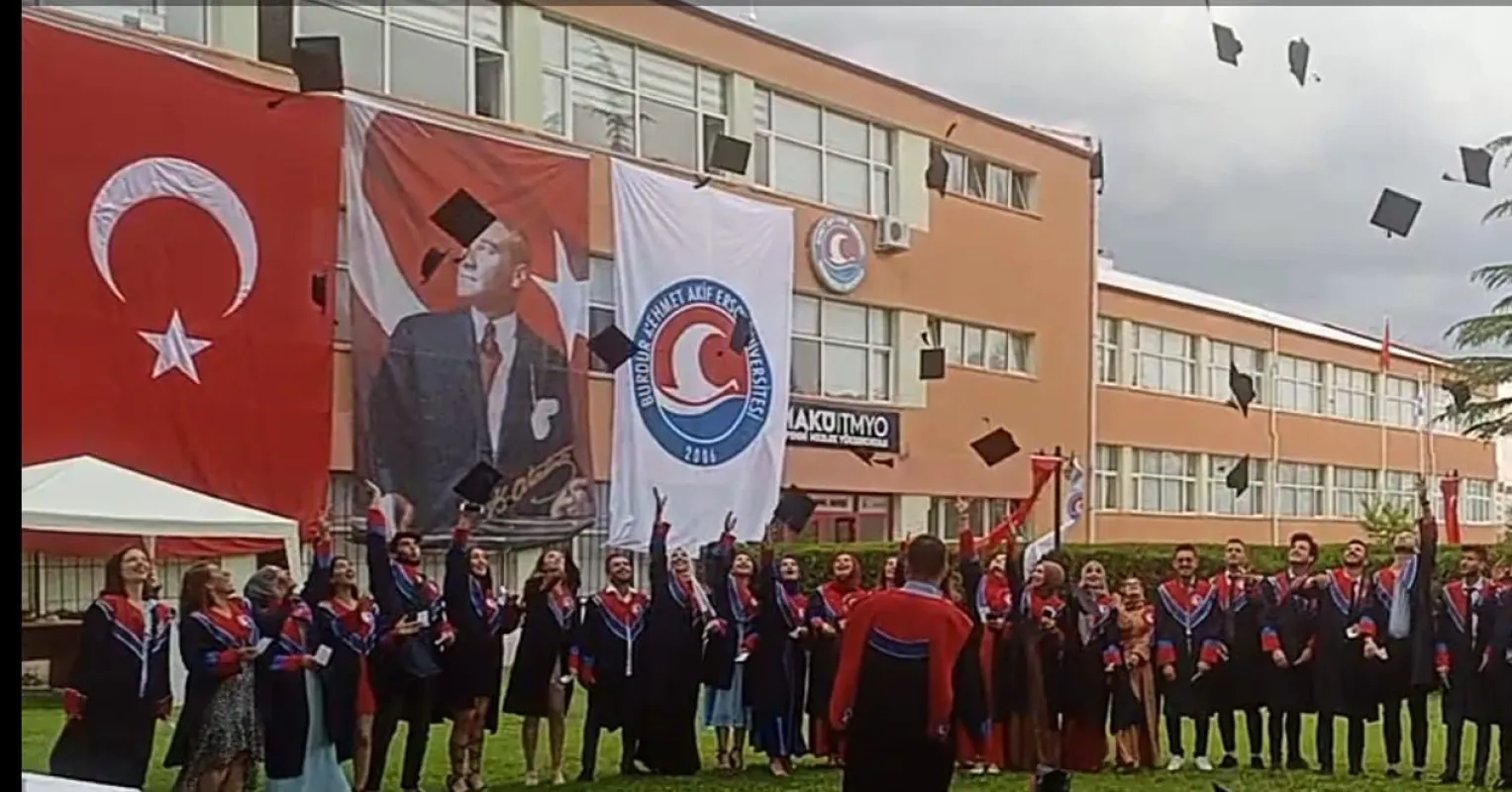
Tefenni Vocational School, established in 2006 within Mehmet Akif Ersoy University, started its activities in the 2009-2010 academic year as the first vocational school opened. With the admission of students to the Computer Programming and Accounting and Tax Applications programs, Tefenni met its first students.
ACCOMMODATION
There are student dormitories, hotels, and houses for students that have been and are being built in our district of Tefenni. The people of Tefenni, who attach great importance to guests, are peaceful and friendly hosts to their students.
TRANSPORTATION
It is 70 km to Burdur, 100 km to Isparta, 120 km to Antalya, 120 km to Denizli, 120 km to Fethiye. It is on the Afyon-Fethiye, Denizli-Antalya route.
HISTORY
Tefenni is one of the oldest cities of Psidia, which was connected to the Phrygian Kingdom on the Phrygian continent in history. Psidia was ruled by the Hittites, Iranians, Romans, Greeks, and Byzantines for a long time. This past dates back to 800-500 BC. Researcher - Historian, Texier and Rasav, agree on the past of Istefani and Temzsonium-Temennos (TEFENNİ) in the Classical Age. It remained under Byzantine rule until the 13th century. However, our district has come to the present day as a completely Turkish City and the TİRKEMİŞ Community has settled here.
Tefenni became a district center in 1868 AD and 1282 AH and was connected to the Burdur Province. In Ali Cevad's work titled "Memalik-i Osmaniye's History and Geography Dictionary", Tefenni is expressed as a district connected to the Burdur Province of the Konya Province.
During the Seljuks, it was administered as a village connected to the Hamitoğulları and was connected to the Gölhisar Principality. As a result of the Osmanoğulları Principality taking control, its Administration and Management passed to the Osmanoğulları Principality. After the spread of Islam in Anatolia and the acceptance of Islam, the Byzantine name, which is Temizoniyum according to some historians and Istefani according to some historians, has been changed to Tefenni.
The city was first established around the Barutlusu Spring that emerged at the foot of the Eşeler mountain (now Haraplanlı). With the arrival of the Çömek Tribe to Tefenni, which had 80-100 houses at that time, the number of houses increased and Tefenni started to be established.
TEFENNİ
Tefenni is located in an area called the Lakes Region of the Mediterranean Region, covering an area of 835 Km2, with a height of 1142 M from the sea, between 3719 degrees Latitude and 2946 degrees Longitude.
It is surrounded by the Denizli border and Eşeler Mountains in the west, Karamanlı district in the north, and Bozdağlar in the east. It is 70 km away from the provincial center Burdur. 11 villages and 2 towns are connected to our district.
In the district boundaries, Tefenni Plain in the north, Eşeler mountain in the west, Rahat mountains in the southwest are located.
Baynaz Stream, Karamusa Stream, Bezirgan Stream are the main streams of our district. Bezirgan Stream and Karamusa Stream are important sources that feed Dalaman Stream.
In our district, there is a Healing Barutlusu, which is said to be good for kidney diseases.
Although there is no constantly flowing river and stream, there are many streams that can be called a stream that dry up in the summer months.
Tefenni is a passage between the Mediterranean Region and the Central Anatolia Region, so it is under the influence of the climate of both regions. Therefore, summers are hot and dry, winter months are cold and rainy. The temperature is not stable, but generally varies between -21 and + 36 degrees.
The annual rainfall amount is 22/25 mm/kg per m2, the average humidity is 40-45%.
A large part of our district's land is suitable and productive for agriculture. There are Tefenni Pond, Hasanpaşa Pond, Başpınar Pond for irrigation purposes. In addition, there is a natural spring water called Kırkpınar in a place called Düvenkaya in Başpınar Village, which is located on the border of Başpınar, Karamusa and Yuva Villages, and it is used in the irrigation of many lands in that region.
120,000 decares of the 200,000 decares of agricultural land is irrigated, 80,000 decares of dry farming is done. 3 Agricultural Credit Cooperatives have been established to support agriculture, and 25 various purpose cooperatives have been established. Mechanized agriculture is preferred.